9 Amazing Photography Spots along the Big Sur Coastline
- Gabriella Viola

- May 20, 2019
- 5 min read
Updated: Nov 24, 2025

Google "California road trip" and images of Highway 1 and Big Sur will be some of the first you'll see.
The Big Sur coastline is a rugged stretch of coast in Central California that features some of the most beautiful scenery in the country. Seaside cliffs, scenic vistas, beaches, and waterfalls are just some of the natural splendors you'll get to enjoy while road-tripping through this iconic section of Highway 1.
Generally speaking, the "Big Sur coastal drive" refers to the 90 miles of coast between San Luis Obispo and Monterey. This post will cover locations between McWay Falls and Monterey. In my opinion, this is the prettiest section of the drive with the most photo opportunities; both iconic and off the beaten path.
The locations are ordered chronologically, beginning north in Monterey and heading south towards Big Sur, but the drive is equally stunning no matter which direction you choose to do it from. Here are 9 amazing photo locations along the Big Sur drive.

1. Lover's Point at Pacific Grove

Pacific Grove in Monterey is lovely any time of year. However, in late spring, brilliant magenta flowers bloom all along the shoreline in Pacific Grove, specifically around Lover's Point and Perkins Park. The wildflowers have been dubbed the "purple carpet," and the best time to see the carpet in full bloom is mid to late May.
Read here for more information about the purple blooms at Pacific Grove in Monterey, California.
Where: Lover's Point, Pacific Grove
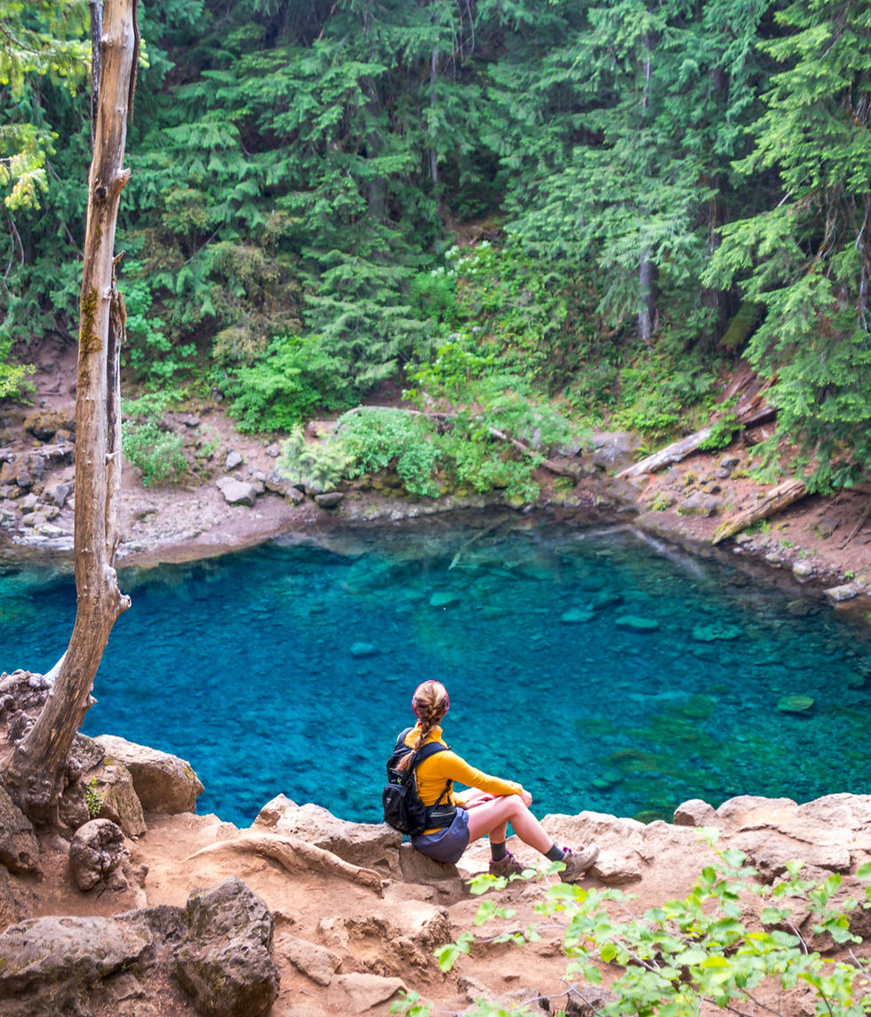
2. China Cove at Point Lobos State Natural Reserve

China Cove is a small but beautiful emerald green cove in Point Lobos State Natural Reserve in Monterey, California. To get to China Cove, take the Bird Island Trail, which loops around China Cove, Gibson Beach, and Pelican Point in Point Lobos. In April and May, you can often spot seals and their pups hanging out on the beach.
Tip: Point Lobos Reserve charges a $10 parking fee.
Where: China Cove Point Lobos
3. Garrapata State Park

Garrapata State Park is a rugged section of shoreline at the northern end of Big Sur. This area features numerous trails, rocky beaches, and large pounding surf that is beautiful to look at but way too dangerous to swim in. Spring is a particularly scenic time when much of this area is covered in wildflowers.
Tip: Calla Lily Valley, a popular stop along the Big Sur drive, is located in Garrapata State Park.
Where: Garrapata State Park
4. Notleys Landing Viewpoint


Head south from Garrapata State Park towards Bixby Creek Bridge, and you'll arrive at Notleys Landing viewpoint. Like many of the locations in Big Sur, there is no official sign for this location. Notleys Landing is a turnout off Highway 1 from which you can see rugged oceanside cliffs with sea arches and Bixby Bridge in the distance.
The actual land is private (you can't miss the barbed wire and multiple trespassing signs) so unfortunately, the sea arches can only be viewed from the highway. Sure, you can take your chances hopping the part of the fence that isn't barbed wire, but beware; cops patrol this area.
Tip: The best way to photograph the sea arches is with a long lens or a drone. I used my Nikon 70-300mm and Mavic Air.
Where: Notleys Landing Viewpoint
5. Bixby Creek Bridge


Bixby Creek Bridge is hands down one of the most iconic locations along the Big Sur drive. In fact, when most people think of Big Sur, it's this bridge that comes to mind. It's definitely a favorite attraction amongst photographers and tourists, and should be at the top of anyone's list of stops while driving through Big Sur.
There are several amazing viewpoints of this bridge, so be sure to take advantage of all of them. One of my favorite vantage points is from behind the bridge on the other side of the road (see middle image). If you're lucky, you'll catch some low rolling fog, which adds a dramatic element to this already stunning location.
Where: Bixby Creek Bridge
6. Hurricane Point


Head south a little way past Bixby Bridge, and you will arrive at Hurricane Point. Hurricane Point is a vista right off Highway 1 with dramatic views of rolling hillsides, seaside cliffs, and Bixby Bridge in the distance. There are no signs that say "Hurricane Point," but it's easy to spot; just look for the turn-out at the top of the hill on the ocean side. Cars are usually pulling in and out, so it's hard to miss.
Where: Hurricane Point
7. Pfeiffer Beach


Pfeiffer Beach in Big Sur is definitely off the beaten path. There are no signs for it, and if you don't know where to look, you can easily miss it. The beach is famous for its purple sand and natural sea arch known as Keyhole Arch. Popular times to photograph Pfeiffer Beach are at sunset and during the winter solstice, when the sunlight hits the keyhole arch at a perfect angle, creating a golden light show. For more on this natural phenomenon, read here.
To get to Pfeiffer Beach, take a very sharp turn onto Sycamore Canyon Road off of Highway 1. Take Sycamore Canyon Road for about 2 miles until you reach the beach parking lot. There is a $10 entrance fee.
Find out more about Pfeiffer Beach here.
Where: Pfeiffer Beach
8. Julia Pfeiffer Burns State Park Vista Point


One of my favorite photo locations is from a marked vista point in Julia Pfeiffer Burns State Park, right off Highway 1. From here, you can see miles of Big Sur coastline, and you can even see McWay Falls off in the distance (if you squint hard enough). On a good day, there will be some low ocean fog in between the cliffs.
9. McWay Falls


Last but not least: McWay Falls. McWay Falls in Julia Pfeiffer Burns State Park is arguably the most breathtaking spot in Big Sur. To me, it just looks like paradise.
The overlook trail offers stunning views of the 80-foot waterfall and the turquoise cove it flows into. Beach access is not permitted, which isn't a bad thing, as that's probably what keeps the cove looking so pristine. Spring is a great time to visit McWay Falls, as colorful wildflowers are in bloom all around the falls.
* Currently, the McWay Falls Overlook trail is closed due to land erosion, but you can still catch a stunning view directly from Highway 1.
Read here for more information about McWay Falls.
Where: McWay Falls
Planning a Big Sur road trip? What are some of your favorite sights along Highway 1? Share in the comments! Also, be sure to subscribe to the blog so that you don’t miss the latest blog posts, videos, and other good stuff!